Nov 11, 2015

Seasonal Variation of a Signature Rossby Wave Train


Above is a Tweet designating dates of previously high correlated patterns for the storm occurring in the middle of the CONUS on 11/11/15.
(US Radar Loop). The image below depicts the correlation frequencies of the recurring RWT and focuses on the significant disturbance. Click on the image for a larger view. (bigger yet)

If there are any questions, comments, or suggestions on the material presented please let me know. Click on the images for a larger view. Thanks for reading!
Nov 10, 2015

Western Great Lakes Region 2015-16 Winter Forecast Snapshot (DJFM)

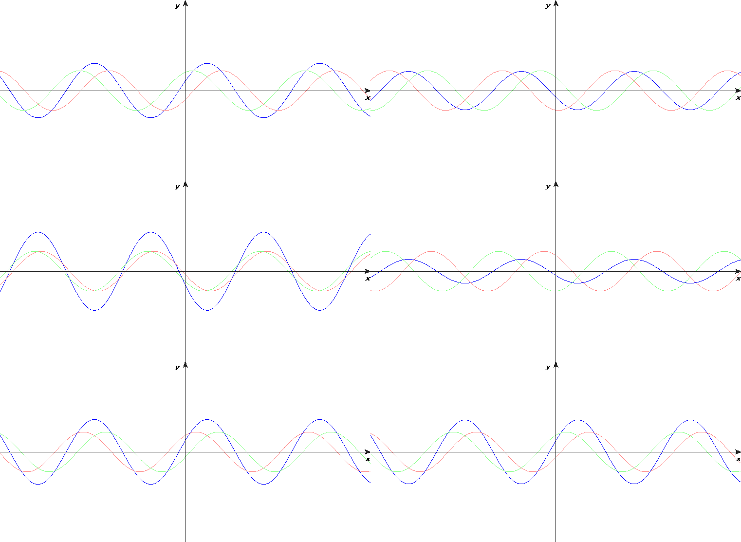
The Framework: Utilize NOAA/ESRL Radiosonde Database to analyze large-scale upper atmosphere patterns in standing wave notation. Described specifically to harmonics, reflecting the temporal/transient behavior of the frequency wavelengths in correlation and relating Intraseasonal Oscillation to Mid-Latitude recurring weather patterns. The Goal: Forecast skill of upper-air and surface weather trends. The Test: Recurring Rossby Wave Train.

As of November 10, 2015 two dominant frequencies of correlation are identifiable. A low 30 and mid 40 day wavelength. Simply put, my model projects based on the weather pattern correlation standing wave behavior. Forecasts and analyses of this behavior can be found here. If more indepth information is desired I often Tweet and post on the AccuWx Forums.

Western Great Lakes Region 2015-16 Winter Forecast Snapshot (DJFM)
If there are any questions, comments, or suggestions on the material presented please let me know. Click on the images for a larger view. Thanks for reading!